
Sources for Elmhurst Neighbors
The immediate block has several public layers, and each answers a different question. DuPage GIS defines nearby parcels. The assessor record describes each selected tax parcel. The election site identifies districts and polling information. City and community organizations offer public points of contact, but not a complete list of homes or members.
| Source | What It Shows About a Block | Access |
|---|---|---|
| DuPage GIS Parcel Viewer | Parcel shapes, selected lots, buffer results, map context | Free viewer and small-result download |
| DuPage Property Records Search | Owner, billing and situs fields, PIN, legal description | Free web portal |
| DuPage Voter Lookup | Address, district, precinct, polling, and ballot routes | Public election tool with statutory limits |
| City block-party form | How Elmhurst defines a block event by street endpoints | Public blank form |
| Local organizations | Public civic, social, and business connections | Public pages or direct contact |
An owner's mailing address may differ from the parcel's situs address, which is the physical location. Neither field names every occupant. Condo parcels, shared drives, schools, parks, shops, vacant lots, and city land also need clear labels before a map is described as a local block.
Map an Elmhurst Neighbor Block
Start with one anchor parcel in the DuPage County GIS Parcel Viewer, then move outward only as far as the question requires. This keeps the work tied to actual parcel geography instead of an assumed circle of homes.
- Search the known address or PIN. Select the correct parcel and preserve its map context with Results or ReportToPDF.
- Run the default 250-foot buffer. Check whether the selection crosses a road, Salt Creek, the Union Pacific West rail line, or a city boundary.
- Review the selected parcels and download CSV, XLS, or PDF only if a small working table is useful. The tool caps selected parcel results at 1,000.
- Open each PIN in the property portal. Record owner, situs address, mailing field, legal description, and parcel type without inferring who lives there.
- Label north, east, south, west, and corner parcels. Mark condos, institutions, commercial sites, shared drives, and vacant or public lots.
The flow is simple: address to parcel, parcel to 250-foot buffer, buffer to selected PINs, and each PIN to one assessor profile. For a full named-street chain, use the Elmhurst street directory instead of expanding a neighbor search far beyond the block.
When the anchor address does not resolve, try the parcel PIN or subdivision search and inspect the map itself. Corner lots can use a street address that differs from the road they face. A parcel may also have been split or combined. The assessor's legal description, neighborhood code, tax code, and map links can explain those mismatches before the search moves outward.
Elmhurst's 250-Foot Neighbor View
The buffer is the most useful local map feature for this task. The official GIS help says the default distance is 250 feet and selects features that touch the buffer. That means the result is not simply the closest front doors. A deep lot, corner parcel, rail corridor, creek bank, or large institutional tract can change which parcels qualify.
Results can be downloaded, but a download is not permission to republish a bulk list. Keep only the fields needed to check adjacency. Then verify each PIN against the assessor profile. If GIS is unavailable, the property page's map and neighbor controls provide a fallback, though their exact scope is less fully documented.
Map tip. Check which parcel lines touch the buffer before calling anyone a neighbor; physical closeness and postal address order are not the same.
Owners Are Not Always Neighbors
The tax roll is an ownership source. Its billing name and mailing address support tax administration, while the situs field identifies the parcel location. A matching situs and mailing address may suggest owner occupancy, but it still does not list a spouse, child, guest, or any other person at the home. A different mailing address may belong to an owner who receives mail elsewhere.
Official block research and commercial neighbor tools differ in a basic way:
| Source type | Useful for | Do not assume |
|---|---|---|
| Official parcel and tax records | Parcel shape, PIN, recorded owner, situs and mailing fields | Every occupant is named |
| Official election tools | District, precinct, polling, and a voter's own registration check | An open roster exists for the block |
| Commercial neighbor category | Possible leads of uncertain age or source | The data is current, complete, or officially verified |
When a record matters, confirm it at the named custodian. A commercial correction cannot alter the DuPage assessor or GIS source.
The voter address tool should also be kept in its lane. It separates house number, street name, direction, suffix, and city, but its purpose is election service. District Search can supply a polling location, precinct, precinct committeeperson, or sample ballot. Illinois voter-file rules restrict bulk access and withhold protected identifiers, so the portal should not be scraped into a household list.
How Elmhurst Defines a Block
The City's block-party process gives a useful civic definition. Its blank form asks for the street and the two cross-street endpoints, then limits an event to no more than two blocks. Requests are due at least ten days before the event, and a collector-road closure may be denied. Those terms describe a workable community area more clearly than an arbitrary search radius.
The form also asks a responsible party to certify that residents were notified. It includes private contact fields, but the completed form should never be treated as a neighbor directory or republished. For process questions, the form lists Carmella Anello at 630-530-3038 and a City email submission route.
Street endpoints are especially useful near Elmhurst's downtown grid, where York Street and the Metra rail line shape short blocks and crossings. Route 83, Salt Creek, schools, parks, and other large parcels can make a simple radius misleading. Use the City's operational block definition when the goal is a street event, and use GIS parcel geometry when the goal is physical adjacency.
Elmhurst Neighbor Organizations
No official, complete Elmhurst HOA or neighborhood-boundary directory was found. Public organizations still provide useful ways to ask about a block, event, newcomer activity, or local history without collecting a private membership roster.
Explore Elmhurst
The City-run local organizations page groups business associations, the Chamber, and nonprofits. It is a civic directory, not a household list.
Newcomers Club
ENNC is a member-based social and community bridge for Elmhurst and nearby residents. Its public site does not expose a street roster.
Neighborhood Association
The public subscription page collects contact and address fields, but its exact boundary and a public member directory were not located.
Elmhurst Chamber
The Chamber's Community Directory covers public institutions, services, business groups, and member listings, not private households.
The public Explore Elmhurst directory shows the categories available for community contact.
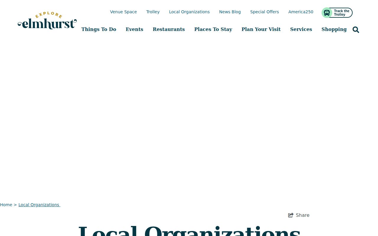
The captured page is best used to find an organization, then contact it about its own public programs.
Community Views for Elmhurst Neighbors
The Elmhurst Neighbors and Newcomers Club offers one public path into local social activity.
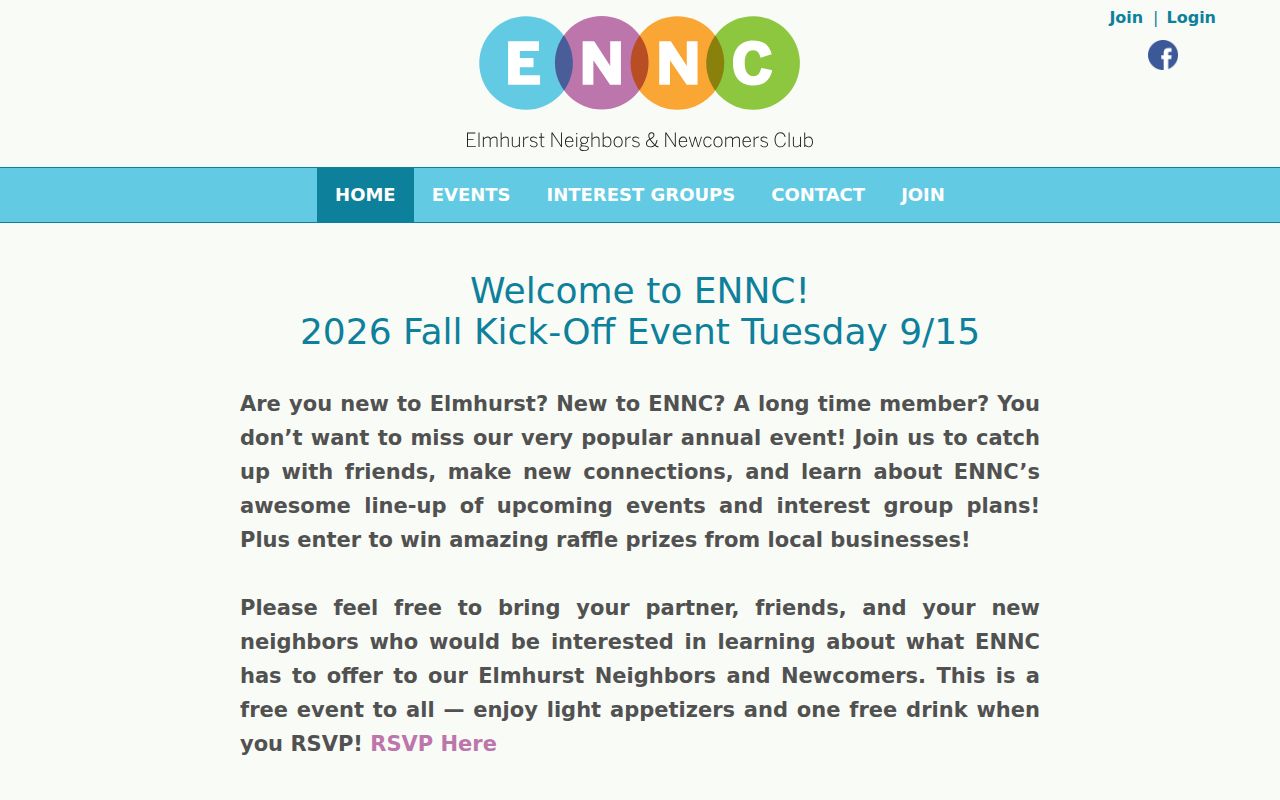
Its public presence confirms the group and its community role, not any person's membership or address.
The Elmhurst Neighborhood Association subscription page is another public contact point.
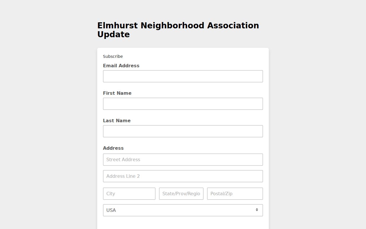
The form requests private subscriber details, so use it only to subscribe or contact the group. Do not infer its boundary or membership.
The Elmhurst Chamber of Commerce and Industry maintains a broad community and business directory.
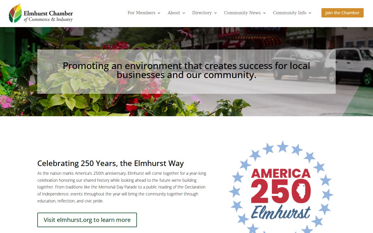
That directory helps identify public services and member organizations around Elmhurst, not the people living on a block.
Ask About Elmhurst Neighborhood History
Modern parcel lines do not explain every street name, subdivision, monument, or community boundary. Elmhurst History Museum's Ask the Historian form explicitly welcomes questions about a street name or neighborhood monument. The research room also holds historic maps, Sanborn fire-insurance maps, city directories, photographs, manuscripts, and local organization records.
This route is useful when a road, rail line, creek, annexation, or old subdivision makes the present block hard to read. Give the historian the street, address, known date, and a focused question. Historic records can explain how a place changed, but they should not be used to publish a current private-membership list.
The museum's historical map set includes city maps from 1885, 1910, 1933, 1949, 1974, and recent years, plus annexation, subdivision, residential-construction, and Sanborn maps. Those layers can show why an old directory address no longer lines up with the present parcel. Elmhurst Public Library adds city and telephone directories, local newspaper runs, microfilm, and obituary tools for a careful historical check.
Privacy for Elmhurst Neighbors
Public parcel data does not reveal renters, all household members, utility customers, delivery records, or private association membership. DuPage voter bulk access has statutory requester and purpose limits, and protected identifiers are withheld. The Illinois Address Confidentiality Program supplies a substitute address to eligible survivors for qualifying government records and has a special voter process. It cannot promise removal of an address already recorded in property files.
Keep a block check narrow. Store a PIN or source link rather than sensitive personal details, avoid bulk redistribution, and send correction questions to the official custodian. A blank result is not proof that no person or record exists.
Lawful use. Research nearby people for civic connection, personal safety, or local history. Never watch, harass, intimidate, or expose another person.