
Walk an Elmhurst Street
Street work begins with one verified parcel, not a list of presumed occupants. The DuPage tax roll supplies a property index number, or PIN, plus the owner, physical address, mailing address, legal description, and current tax year. That PIN is the best join key because street spelling can shift between systems. Build outward one parcel at a time and preserve the role attached to every name.
- Enter a house number and street in the DuPage property address search. Open the returned PIN and record situs and billing fields separately.
- Use the PIN or intersection in the county GIS viewer. Check corner lots, alleys, split parcels, and missing house numbers on the map.
- Review legal description, transfer, conveyance, and tax-year tabs. These can explain a parcel change without naming an occupant.
- Search the Recorder index by PIN, street, party, date, or document type. Separate deeds from mortgages, releases, plats, and liens.
- For older address evidence, compare Elmhurst directories, newspapers, and historical maps. Use the voter address tool only for district and polling facts.
This Elmhurst by-address sequence is useful for property curiosity, family history, and checking a seller's claimed tie to a parcel. It does not turn a public owner row into a household roster.
Work from the narrowest known fact. If the number is firm, use the address form first. If the number is missing, use an intersection or map. When the owner's spelling is known, billing-name search can provide a second route. Save the tax year with every parcel result because a later certified assessment may change the displayed owner or value.
Search Elmhurst Parcels by Address
The DuPage County Property Records Search offers PIN, address, billing-name, map, and Board of Review hearing modes. A parcel profile can expose its neighborhood and roll codes, class and use, legal description, current and historical assessed values, taxes, exemptions, appeals, transfers, and split or combine history. Historical tabs are present, but the county does not state one complete online start year.
| Portal control | Input | Street-directory use |
|---|---|---|
| Address Search | House and street controls | Resolve a physical address to its PIN |
| PIN Search | Four-part parcel number | Reopen the same parcel without name ambiguity |
| Billing Name Search | Owner or entity spelling | Find a tax-roll owner lead |
| Map Search | Map or advanced controls | Select an unclear or adjacent parcel |
| Tax year | Result-page dropdown | Compare values and transfer tabs across years |
The live property address form shows how the county begins a by-address lookup.
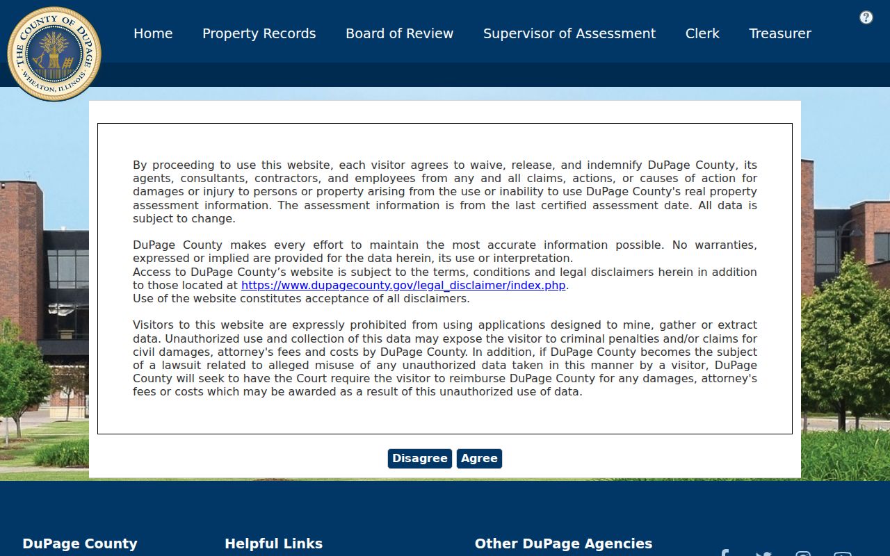
The captured screen is the right starting point for a known house number, while the returned PIN carries the search into maps and deeds.
PIN Links Elmhurst Street Records
A DuPage PIN appears in four groups, such as the county's sample format 06-11-331-015. GIS may accept the same number without dashes. Keep it beside the legal description because both survive spelling changes better than a street line. The assessor's owner field may name a person, trust, company, or other legal owner. It says who is on the tax roll, not who sleeps at the address.
- Parcel
- A mapped unit of land assigned its own PIN.
- Situs address
- The physical property location, distinct from the billing address.
- Plat
- A recorded map that lays out lots, blocks, roads, or a subdivision.
- Criss-cross directory
- A directory read by street and house number instead of only by surname.
The official PIN search is useful after the first address match.
That stable number helps avoid a false match when two streets or owner names look alike.
Elmhurst Records Indexed by Street
No single Elmhurst address source contains every relevant record. Each layer answers a narrower question, and several have meaningful access limits. The strongest chain keeps ownership, parcel geography, a recorded instrument, a historical listing, and a voting district in separate columns.
| Address layer | Custodian | What it can show | Depth |
|---|---|---|---|
| Current parcel | DuPage assessment portal | PIN, owner, situs, billing, use, legal description | Current year and historical tabs |
| Parcel geography | DuPage GIS | Mapped parcel, subdivision, nearby shapes and layers | Coverage start not stated |
| Recorded title | DuPage Recorder | Parties, instrument, date, document number and image | Online from March 16, 1961 |
| Historical address | Library and History Museum | Directory, newspaper, map, and local-history clues | Directories reach at least 1909 |
| Voting district | DuPage Elections | Precinct, polling place, district, and sample ballot | Current interface |
| City permit workflow | Elmhurst CSSP | Location, project, contacts, uploads, permit number | No open permit-history index verified |
When an online path fails, use the Recorder research counter, assessor or GIS staff, City Clerk FOIA route, Library reference desk, or Museum appointment. A missing web result is not proof that no record exists.
These channels also differ in authority. The assessor describes a tax roll, GIS describes mapped geography, and the Recorder preserves instruments. Library and Museum holdings provide historical context. One source should not be made to answer a question it was never designed to answer.
Map Elmhurst Streets in GIS
The DuPage GIS Parcel Viewer accepts a PIN without dashes or a partial address. Its intersection search is valuable when the number is unknown. Selecting a result zooms to a blue-highlighted parcel. Shape selection can capture up to 1,000 parcels, while a default 250-foot buffer selects parcels touching that buffer. Results can be saved as TXT, CSV, PDF, XLS, or XLSX, and ReportToPDF preserves map context.
Use the buffer for a nearby-parcel question, not as a claim about an entire street. Roads, rail lines, creeks, and municipal edges can place an apparently close parcel in a different setting. A by-street ledger should label corner, vacant, public, commercial, condominium, and shared-drive parcels rather than force them into one residential pattern.
The advanced property map provides another visual route when the standard address form is too rigid.
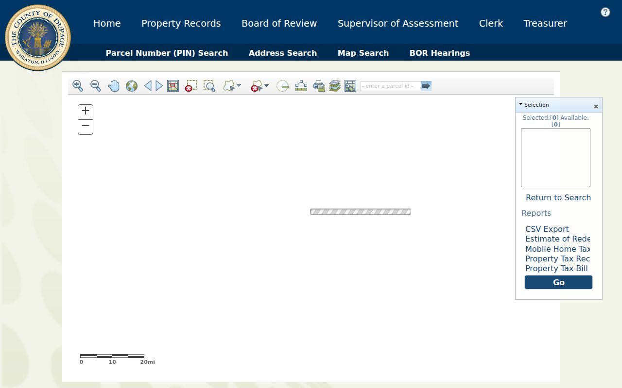
The map view helps connect odd parcel shapes and corner lots to the correct PIN before opening other records.
Note: Download tools support focused research, but the property portal prohibits unauthorized data mining and warns that its assessment data carries no warranty.
Trace Elmhurst Streets Into Deeds
The DuPage Recorder accepts last and first name, bank, trust, subdivision or business name, street number, direction, street, city, four-part PIN, document number, document group, type, and date range. At least one field is required. Start with the PIN or street and a narrow date window, then capture both grantor and grantee. A grantor transfers an interest; a grantee receives it.
Document groups include grantor and grantee, mortgage parties, releases, plats, government liens, mechanic liens, judgments, special assessments, and other recorded classes. Type choices go deeper, including deeds, quitclaim deeds, easements, subdivision plats, annexations, ordinances, leases, surveys, covenants, and notices. Select a class only when it serves the question. A broad name-only result may combine unrelated people, parcels, and legal roles.
Online indexed documents and digital images begin March 16, 1961. Earlier title work belongs at the Recorder research counter, 421 N County Farm Road in Wheaton, by office request, or in historical sources. The web system is described as an extension of the public terminals. Do not promise that an earlier deed image exists online.
A deed, quitclaim deed, or transfer-on-death instrument can change title. A mortgage, release, easement, plat, lien, judgment, or notice may only document another interest. Read the instrument and legal description before assigning a new owner period.
For a whole named road, repeat the method parcel by parcel. There is no verified assessor button that exports every owner on an Elmhurst street. A careful manual ledger can hold house number, PIN, situs, billing address, owner role, tax year, transfer lead, and source URL without scraping the portal.
Read Elmhurst Streets Across Time
The Elmhurst History Museum map collection includes city maps for 1885, 1910, 1933, 1949, 1974, and 2023, plus a 2020 subdivision map, annexation map, residential-construction map, and Sanborn maps for 1918, 1924, and 1965. Sanborn maps show building footprints and uses. They do not identify every resident.
Historical labels matter. The settlement became known as Cottage Hill before the name Elmhurst was adopted in 1870. It incorporated as a village in 1882 and as a city in 1910. Downtown records may frame addresses around York Street and the Union Pacific West Metra line, with streets such as Park, First, Second, Third, Maple, Prospect, Cottage Hill, and Haven.
No official old-to-new Elmhurst house-number schedule was found. When a number disappears, test Cottage Hill and Elmhurst, village and city labels, the subdivision and lot, neighboring owners, and the map block. The Museum's Ask the Historian service specifically welcomes street-name questions.
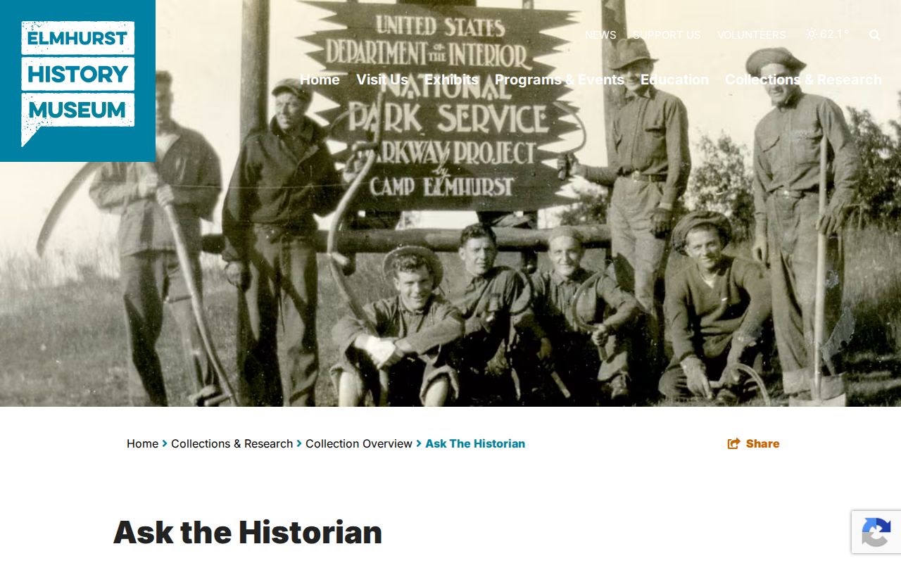
The form offers a direct fallback for local street history that a parcel portal cannot explain.
Map years are snapshots. Compare at least two around the event being studied and note what each map actually depicts. Annexation, subdivision, and construction maps can explain a change in city status or lot layout without proving that the residents changed at the same time.
Elmhurst Address Districts and Permits
The DuPage voter lookup separates house number, street name, direction, suffix, and city. Its address and district paths return precinct, polling, district, and ballot facts, not an open roster of people at each house. A name search may also require a space in some surnames, such as entering Mc Carthy for McCarthy. Bulk voter data is restricted by Illinois election law, and birth dates are not furnished in state voter files.
Elmhurst's Citizen Self-Service Portal supports permit and license applications through a location, contacts, project details, uploads, review, and confirmation number. Research did not locate an open address-indexed history of all permits or code cases. An applicant or contractor named on a permit is not necessarily a resident. For a defined public city record, use the City Clerk and a written Illinois FOIA request.
Illinois FOIA generally calls for a response within five business days and permits a five-business-day extension in specified cases. The first 50 standard black-and-white pages are free, followed by the statutory per-page ceiling. Describe the address, record type, and date span so the City can identify a manageable set.
Limits of Elmhurst Street Records
A parcel record does not list household members, guests, utility customers, or everyone who gets mail. Billing and situs addresses are distinct fields. A homestead exemption can be evidence that an owner claimed an owner-occupied tax benefit, but it still does not identify each person in the home. DMV address data is protected, and private association membership is not a public street index.
Older city and telephone directories can place a subscriber or named person at an address, though they may also list a business, boarder, or owner. The collections themselves belong to the Elmhurst city directory trail. Preserve the year, printed role, page, and source before connecting that entry to a parcel.
Lawful use. Use Elmhurst street records for lawful personal research, family history, civic inquiry, and fraud prevention. Never use an address trail to stalk, harass, intimidate, or harm anyone.
Note: A tax-roll name is an ownership lead, not proof of current residence or identity.